I went to my first Open Street Map conference recently — State of the Map US, in Portland. Stamen was one of the conference sponsors, along with MapBox, and ESRI and TeleNav, among others, and it’s great to see and be part of the different industries come together to support this effort. I went with Mike and Nathaniel, who are more directly involved with this community than I get to be, and those guys also stuck around in Portland for North American Cartographic Information Society annual meeting the following week.
Open Street Map is getting super interesting, with more and more companies and people signing on to use and contribute to the service. Carl Franzen wrote a three-piece article on the conference, starting with”The New Cartographers: OpenStreetMap’s World Takeover,” and it was great for me to see the different forces at work in the OSM community up close and personal:
“Nevermind Apple’s maps misfire, the free, volunteer-made OpenStreetMap, may end up reigning supreme anyway, as companies increasingly choose it for map data over Google. But as the project grows, it’s becoming harder and harder for its members to agree on what direction to go in next.
OpenStreetMap, a free crowdsourced online world map started eight years ago, has seen its ranks swell to over 800,000 volunteer mapmakers around the world — 300,000 in the last year alone — rapidly becoming the go-to source of map data for successful tech brands including Apple, Foursquare and Wikipedia, as well as for government agencies like the National Parks Service, all of whom are wary of Google’s decision to begin charging for heavy use of its Maps API starting in January 2012.
But as the project grows and matures, it’s facing a whole new set of challenges, the biggest of which is the question of whether or not to commercialize and move away from its open source roots.
The tensions facing the community were on full display at OpenStreetMap’s annual “State of the Map USA” conference in Portland, Oregon from October 13 through 14, a frenzied, jam-packed series of over 50 presentations and countless other informal talks between avid geographers and programmers who sprawled over a few generally overcrowded rooms at the Oregon Convention Center, fueled by coffee (beer at night) and their boundless enthusiasm for using and improving the vast and increasingly vital public map.”
It’s a robust (and growing) community, as you can see here (in more ways than one — look closely and you’ll see my son on my lap among the babies in attendance):
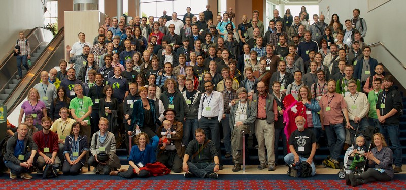
Photo by Justin Miller on Flickr
Nikki was a hit too with her watercolor stockings and blankets (coming soon!) based on Open Street Map data and meshu necklaces. A big year for custom objects based on open data!
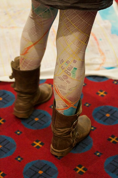
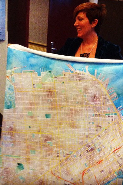
Photo by Justin Miller on Flickr
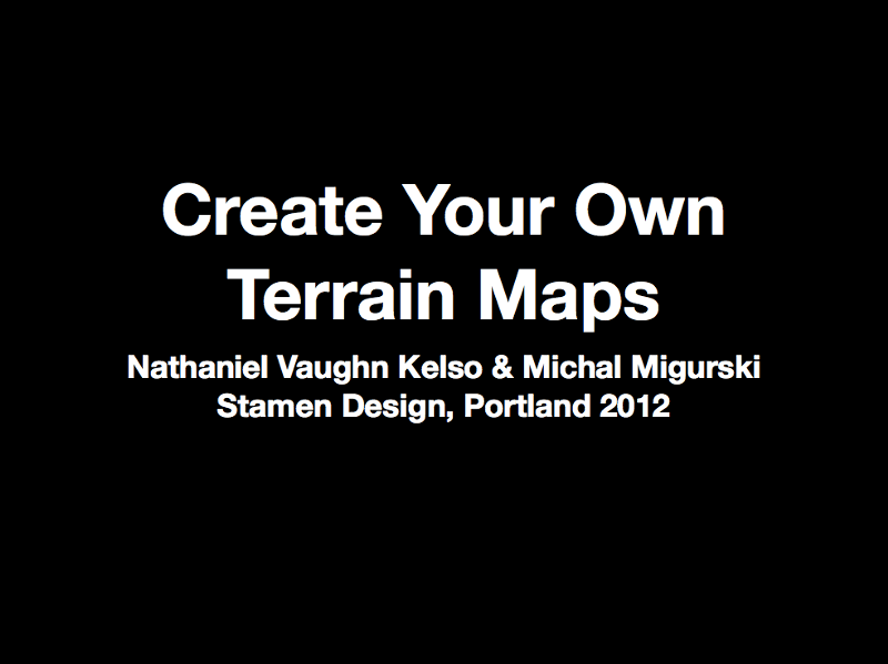
Mike and Nathaniel took the stage to demonstrate some forthcoming client work we’re doing, extending the currently US-only terrain maps from maps.stamen.com to cover the whole world:
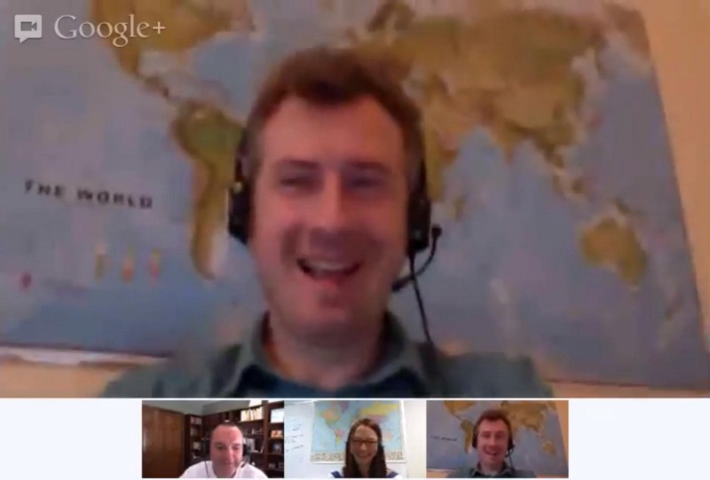
And Nathaniel took some time to do a Hangout with James Fee, talking about the San Francisco Giants (w00t!), Stamen, Natural Earth, SOTMUS and NACIS.