
The first thing I thought after we hung a copy of London’s Kerning, a printed map showing only the street names in London, in the studio, was: I want one of those for the rest of the world. “How hard can it be to just(people here love that) show the streets?”
As part of the CityTracking project, we’ve released six new map flavors that get pretty close: Terrain and Toner both now include layers with streets only, labels only, and background only.
C’est voila:
<img class=”leaflet-tile leaflet-tile-loaded” src=”http://c.tile.stamen.com/toner-labels/16/32743/21791.png” style=”height: 256px; width: 256px; left: 300px; top: 280px;”>
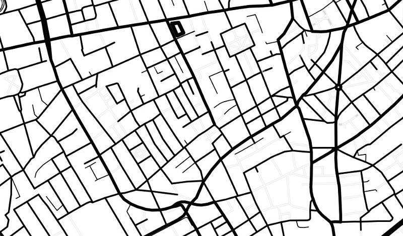
Toner: just streets
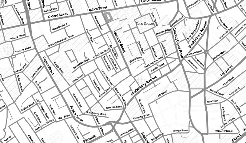
Toner: lite
Those finding Toner a little too, well, stark for their purposes (it can be a bit heavy on the printer cartridges, we’ve heard) will hopefully findToner Lite a bit easier to work with.
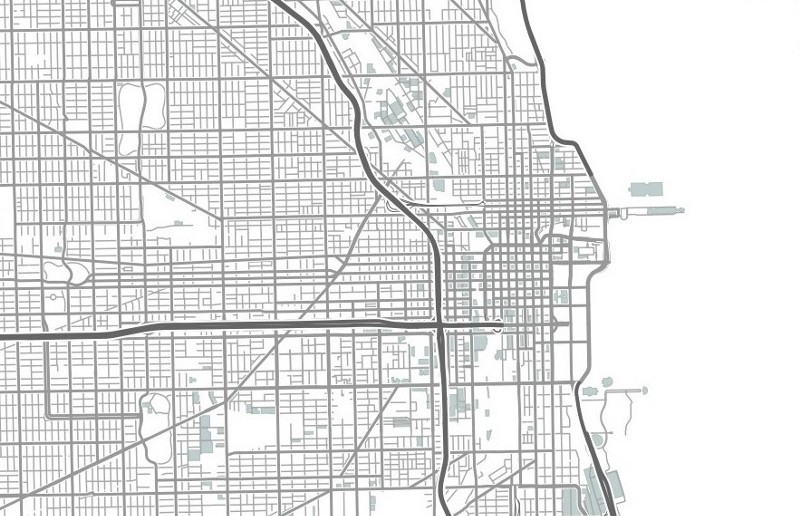
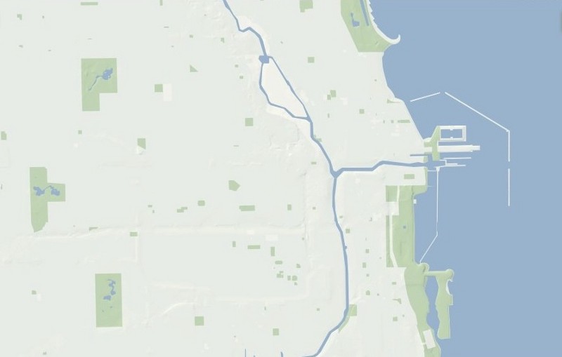
Terrain: just streets
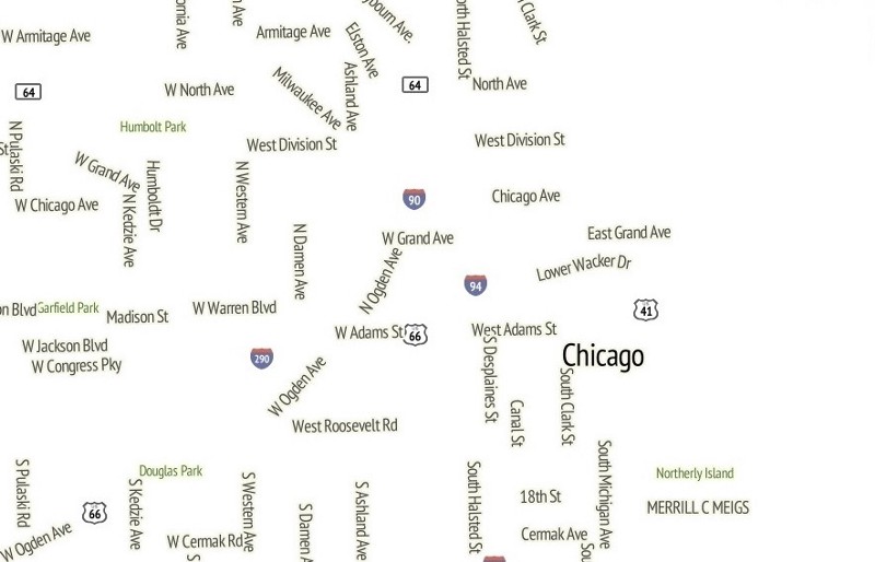
Terrain: just labels
Terrain: just background
We’ll follow up with some more detail about how to incorporate these into existing projects soon — many of the styles have transparent backgrounds, for example, so they can be used as layers on other maps — but for now: enjoy!