
There are three basic parts to working with online representations of urban civic data in Dotspotting: coallating the data, manipulating it, and then sharing and publishing it. Up until now we’ve been focused on the first two, which makes sense: obviously you need to be able to gather and work with the data before you can share it. Today we’re announcing the inclusion of the project’s most requested feature: embedding the maps that people make into sites of their own.
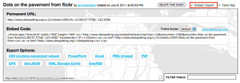
The “embed/export” feature has been reworked to include the ability to generate html code that you can configure to your own specs, depending on how your site is formatted. Basic embed code is available in default mode, which will generate a map that looks pretty much the way that it does on Dotspotting:
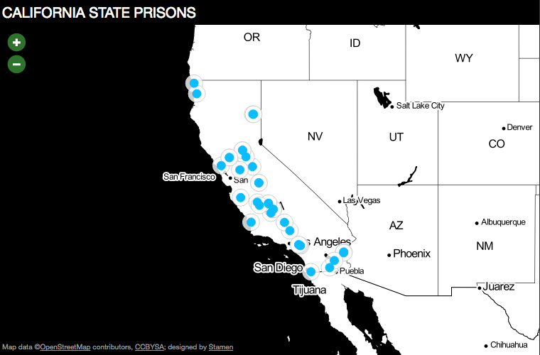
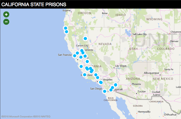
There are a couple of different options in embed; so for example you can swap out the normal toner cartography for Bing’s new (awesome) map tiles:
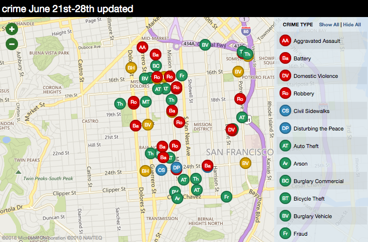
We’ve been working with Mission Local, a news organization that reports on our home base of the Mission District, to find ways to take the lessons learned from the Crimespotting project and give this ability to local publications and advocates. The crime theme we’ve developed with them lets you generate maps that look like the one below, if you provide a “crime type” value in your data:
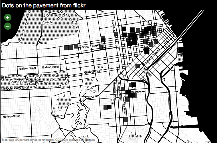
And my favorite so far is the photo theme, which takes a ‘flickr:id’ or ‘photo_url’ field from your data (say, a set on flickr) and generates a visual mapping of where the photos are:
We’re planning on releasing more of these as time goes by; if you’ve got ideas for a theme you’d like to see, please upload some dataand get in touch!